Roots & memory
History
Carefully sourced accounts of places, people, institutions, and shared memory.
Historical claims require named sources and accountable review.
How Himachal Pradesh took shape
Himachal Pradesh did not take shape in a single moment, and its present districts should not be projected backwards as though they were one unchanged territory. The administrative history recorded after independence involved princely states, British-era jurisdictions, constitutional categories, territorial transfers, and later district reorganisation. Boundaries and institutions changed at each stage. A present-day district map is therefore useful for orientation and navigation, but it is not a map of earlier political arrangements. Local histories also extend beyond this statewide account and are best considered on their own evidence.
The first major post-independence step came on 15 April 1948. A retrospective Census of India account describes the merger of Punjab Hill States, except Nalagarh, with Sirmur, Chamba, and Suket to constitute Himachal Pradesh as a separate administrative unit. Mandi followed on 1 May. The new unit initially had four districts: Chamba, Mahasu, Mandi, and Sirmur. That arrangement was an important beginning, not the creation of the state in its current territorial form. The same census record documents subsequent jurisdictional adjustments, including exchanges in 1950, which caution against treating even the early administrative map as fixed.
Bilaspur brought a distinct kind of change. The Himachal Pradesh and Bilaspur (New State) Act united the two then-existing states, and the merger took effect on 1 July 1954. Bilaspur became the fifth district. In 1956, another transition altered constitutional status rather than simply adding territory: the Constitution (Seventh Amendment) Act replaced the former Part C framework and listed Himachal Pradesh among the Union territories. The wider States Reorganisation Act formed part of that national settlement. District organisation continued to evolve too. On 1 May 1960, Kinnaur was created from Chini tahsil and fourteen villages of Rampur tahsil in Mahasu district.
A territorial transfer followed the reorganisation of Punjab. Section 5 of the Punjab Reorganisation Act, 1966 transferred specified hill areas from Punjab to the Union territory of Himachal Pradesh on 1 November 1966. The legislation names the territories in detail through districts, tahsils, sub-tahsils, and kanungo circles; a short overview cannot reproduce that statutory list without losing the larger sequence. What matters here is the nature of the event: this was a legislated transfer of defined areas, different from the 1954 union and from the constitutional status change of 1956.
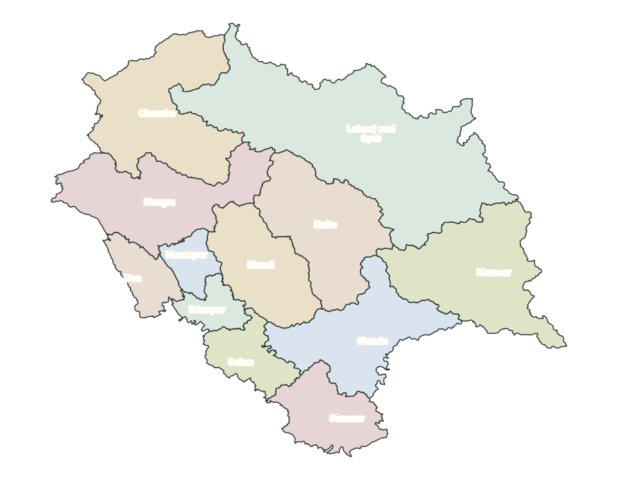
The State of Himachal Pradesh Act, 1970 established a new state from the former Union territory. Its appointed day was 25 January 1971, the date Himachal Pradesh achieved full statehood. Administrative reorganisation did not end there. On 1 September 1972, Hamirpur and Una were created through the reorganisation of Kangra, while Mahasu and Solan were reorganised as Shimla and Solan. The Planning Department's later official synthesis identifies this as the change that produced the present framework of twelve districts. Statehood in 1971 and the twelve-district arrangement in 1972 are therefore related milestones, but they are not the same event.
This sequence explains why the statewide story is clearest when its changes are named precisely: formation as a separate administrative unit, union with Bilaspur, movement into the Union-territory framework, transfer of specified hill areas, statehood, and district reorganisation. It also sets a limit on what the overview can claim. Ancient and medieval histories cannot be compressed into a single continuous narrative for the current state without stronger specialist evidence, and modern district lines cannot stand in for older polities. The timeline below links each administrative milestone to the inspected legislation or institutional record, while the district profiles provide space for deeper local histories.
Milestones in state formation
15 April 1948
A separate administrative unit
Punjab Hill States, except Nalagarh, and the states of Sirmur, Chamba, and Suket were combined into a separate administrative unit; Mandi followed on 1 May.
Sources1
1 July 1954
Union with Bilaspur
The states of Himachal Pradesh and Bilaspur were united under the 1954 Act, with Bilaspur becoming the fifth district.
1 November 1956
Union-territory framework
Constitutional and states-reorganisation changes replaced the former Part C framework and listed Himachal Pradesh among the Union territories.
1 May 1960
Kinnaur district created
Kinnaur was created from Chini tahsil and fourteen villages of Rampur tahsil in the then Mahasu district.
Sources1
1 November 1966
Hill territories transferred from Punjab
The Punjab Reorganisation Act transferred specified hill territories from Punjab to the Union territory of Himachal Pradesh.
Sources5
25 January 1971
Himachal Pradesh became a state
The State of Himachal Pradesh Act established the state from the former Union territory on its appointed day.
1 September 1972
Present twelve-district framework
Hamirpur and Una were created, and Mahasu and Solan were reorganised as Shimla and Solan, producing the present twelve-district framework.
Sources7
Sources for the overview and timeline
Census of India 1961, Volume XX, Himachal Pradesh, Part II-A: General Population Tables & Primary Census Abstracts
Printed pages 13–16 support the 1948 administrative formation, Bilaspur integration, Kinnaur creation, and the need for historical jurisdiction caveats.
Himachal Pradesh and Bilaspur (New State) Act, 1954
The preamble and sections 3–5 support the statutory union of Himachal Pradesh and Bilaspur and Bilaspur’s treatment as a district.
Constitution (Seventh Amendment) Act, 1956
The First Schedule and amended Part VIII support the replacement of the Part C framework and Himachal Pradesh’s listing among Union territories.
States Reorganisation Act, 1956
The Act’s schedules support the wider 1956 reorganisation framework; the Seventh Amendment supplies the clearest direct Union-territory wording.
Punjab Reorganisation Act, 1966
Sections 2 and 5 support the appointed day and the transfer of specified Punjab hill territories to Himachal Pradesh.
State of Himachal Pradesh Act, 1970
Sections 2–3 and the appointed-day note support establishment of the state from the former Union territory on 25 January 1971.
Annual State Development Budget 2023–24
Chapter 1, page 1 supports the statehood date, the 1972 district reorganisation, and the present count of twelve districts.
District map
Use this present-day map for orientation. Older kingdoms, princely states, colonial jurisdictions, and administrative units followed different lines.
Twelve local histories
Explore district histories
Reviewed profiles are available now. The remaining district histories stay offline while their claims, sources, and image rights are checked.
Bilaspur District
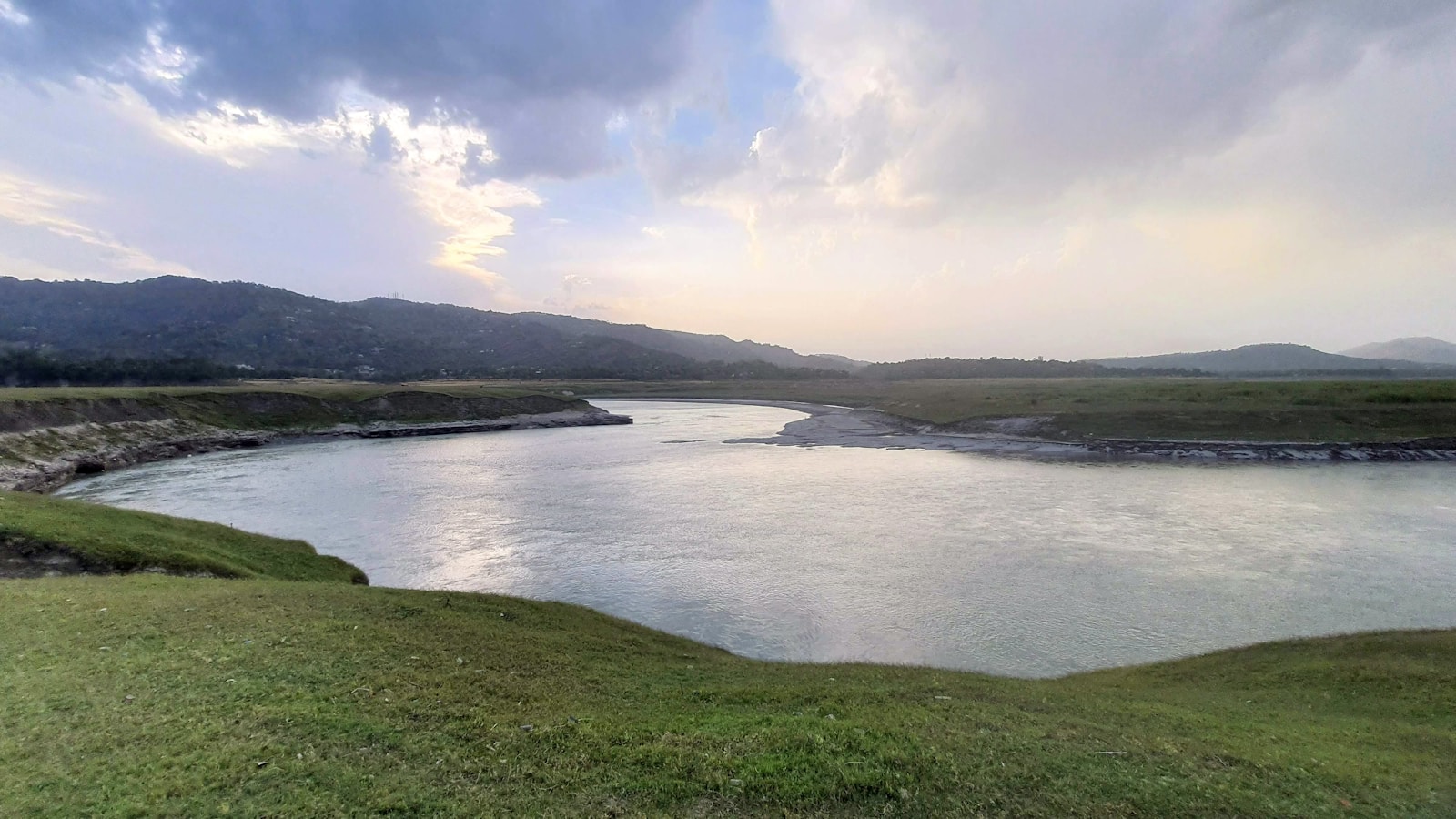
Bilaspur's history links Kahlur tradition, a documented princely river town, post-independence integration, and the spatial rupture created by Bhakra and Gobind Sagar.
Chamba District
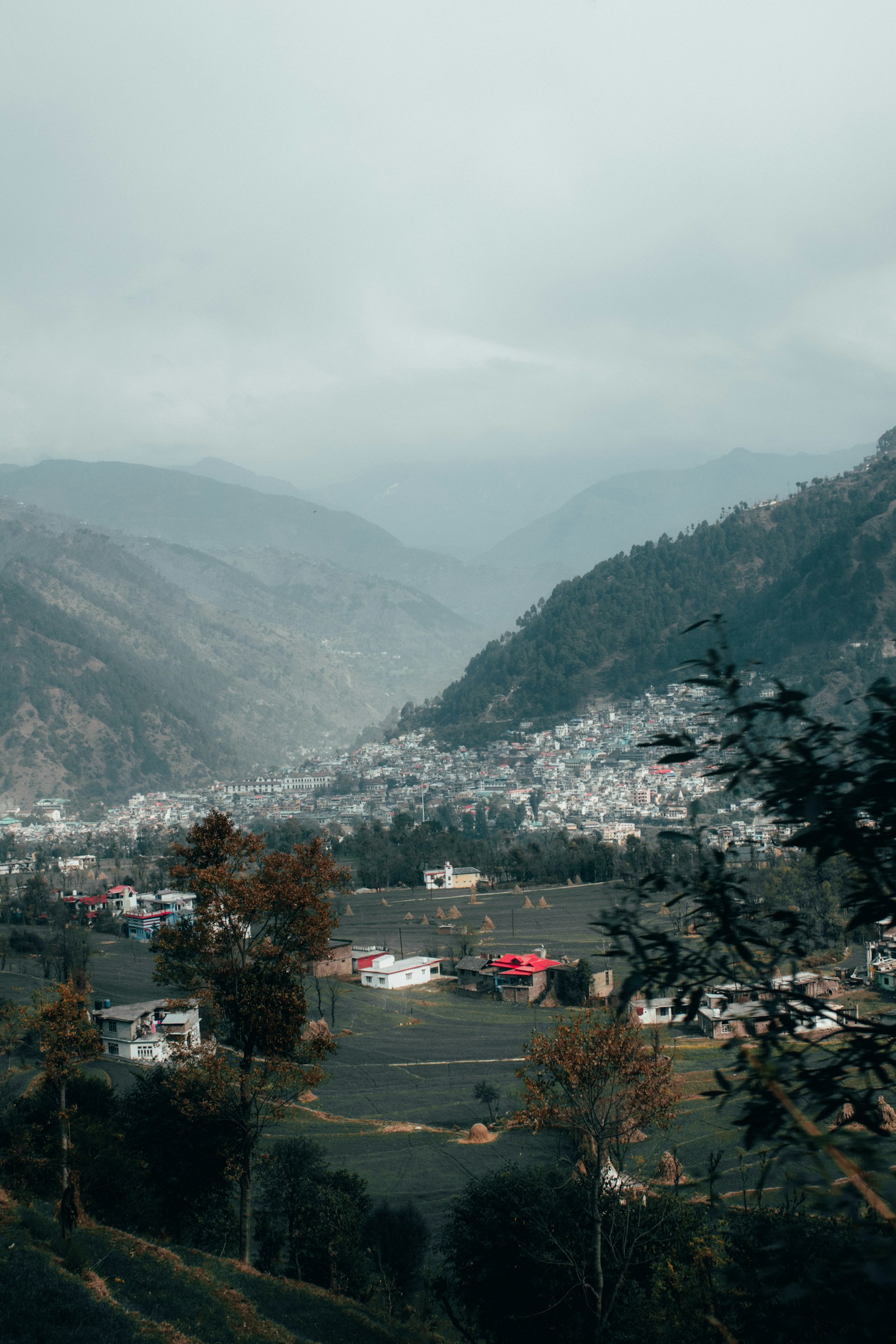
Chamba's inscriptions, copperplates, court traditions, museum collections, and administrative records reveal a layered history that differs across its valleys.

Hamirpur District
Hamirpur's history spans lower-hill landscapes, Katoch court traditions, colonial Kangra administration, the 1966 transfer, and district formation in 1972.
Kangra District
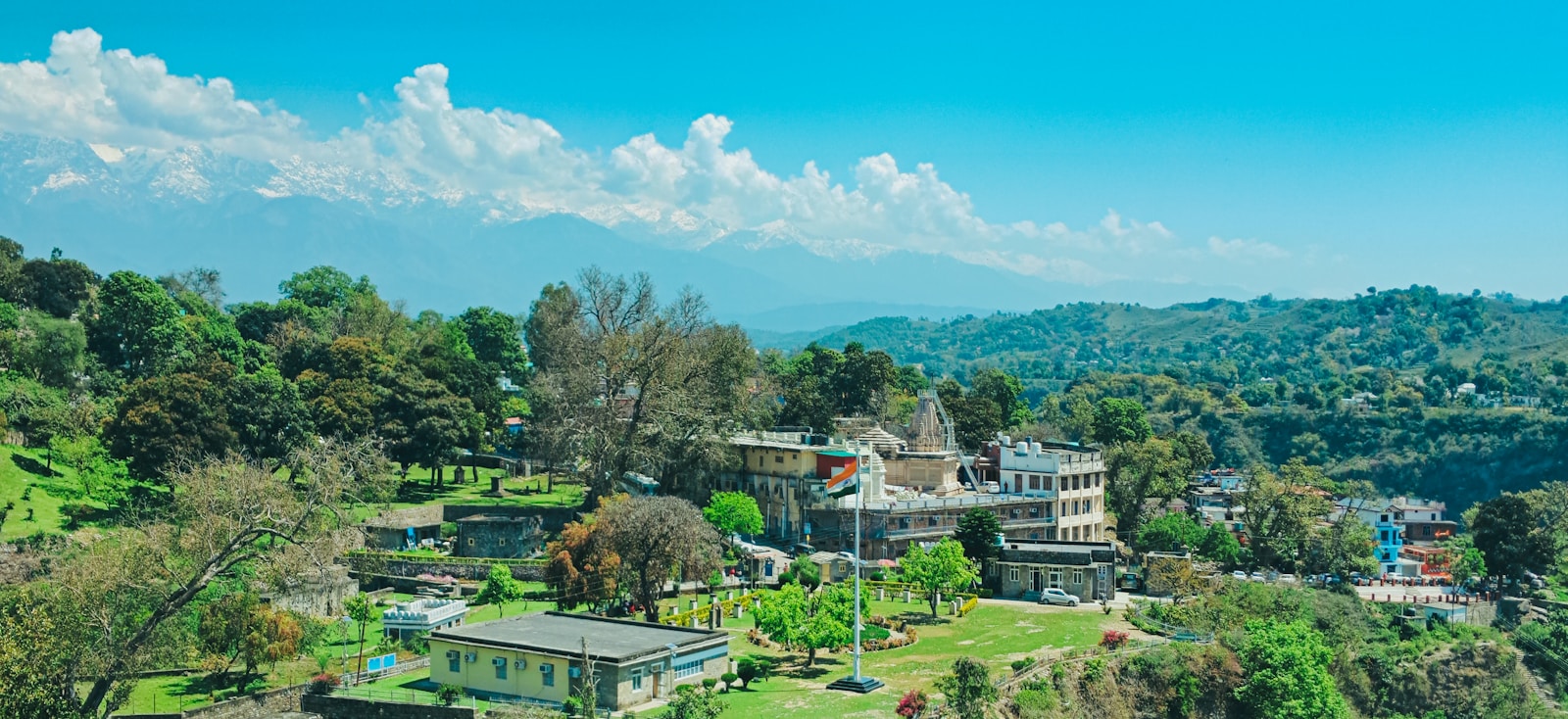
Kangra district spans fertile valleys and Dhauladhar foothills, with celebrated temples, painting traditions, tea gardens, forts, and diverse local communities.
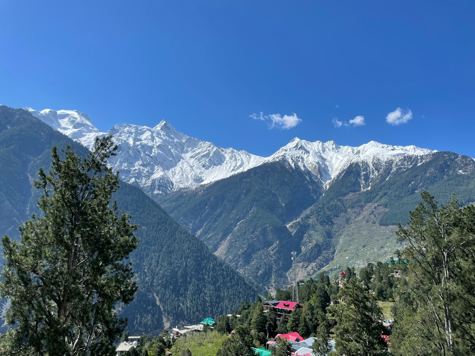
Kinnaur District
Kinnaur's history emerges from varied valleys, limited early evidence, local and dynastic traditions, changing mountain routes, colonial frontiers, and district formation in 1960.

Kullu District
Kullu's layered history separates textual and dynastic traditions from numismatic argument, changing Kangra administration, Punjab district status in 1963, and statutory transfer in 1966.
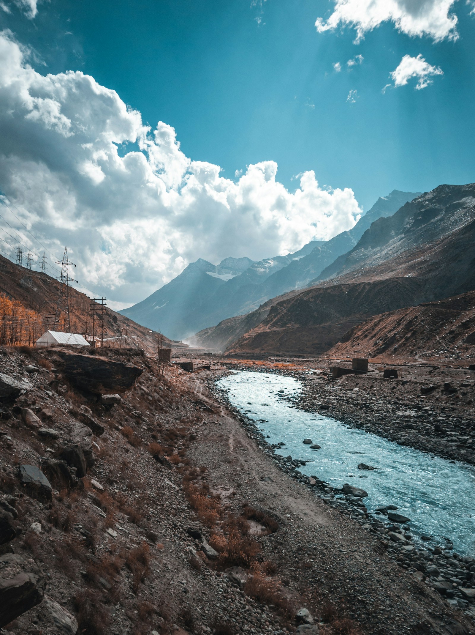
Lahaul and Spiti District
Lahaul and Spiti's history begins with two distinct tracts, follows changing Kangra-era administration, and separates the DCHB-reported 1960 district from its statutory 1966 transfer.
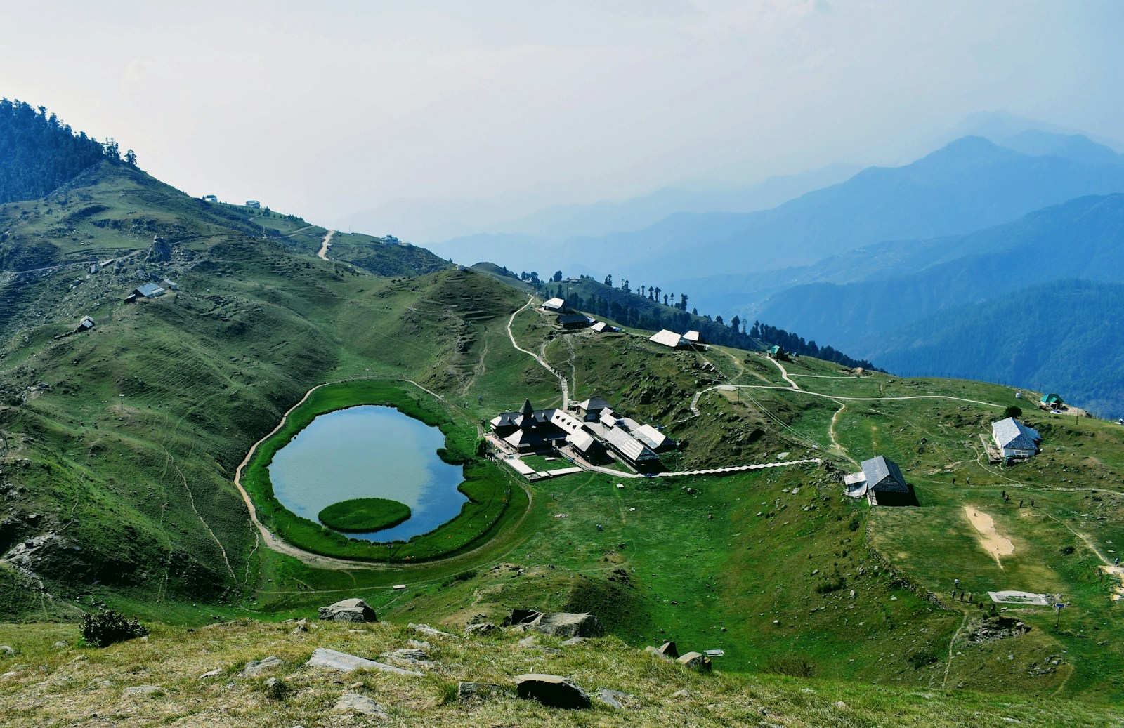
Mandi District
Mandi's history joins two separately documented hill states, layered naming and dynastic traditions, material evidence, the 1846 British transition, and their 1948 amalgamation into one district.
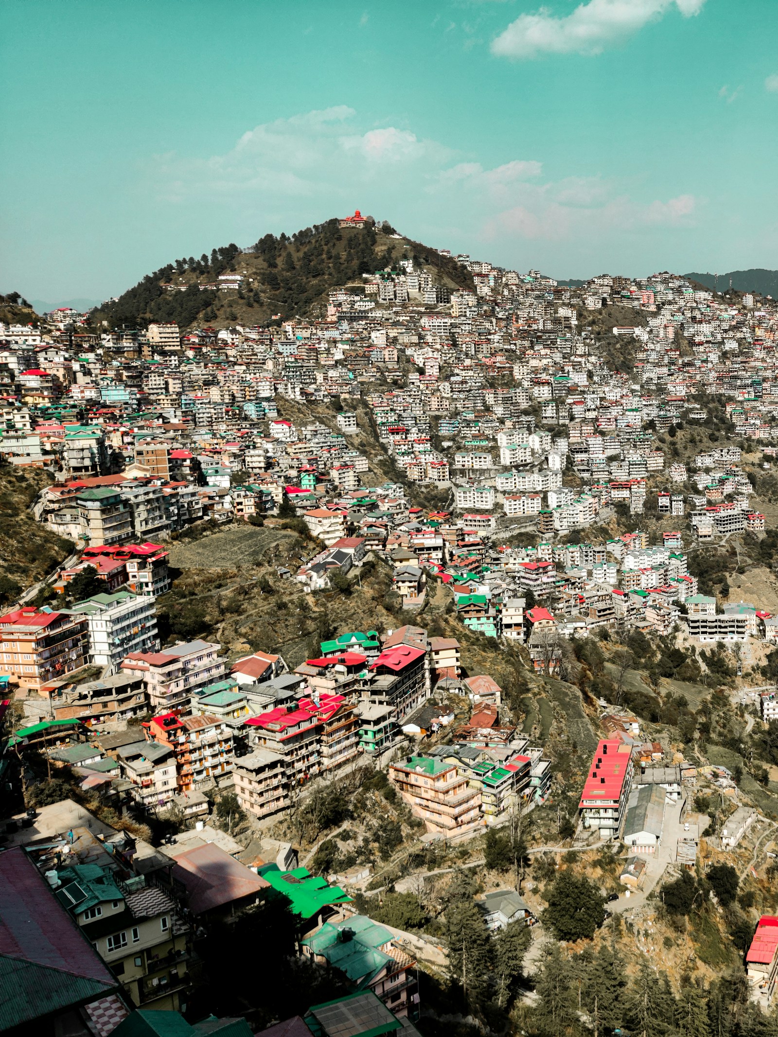
Shimla District
Shimla's district history separates the colonial town, former hill states, the 1966 transfer of statutory Simla, and the DCHB-reported district reorganization of 1972.

Sirmaur District
Sirmaur's recorded past joins a former hill state, source-dependent name and foundation traditions, conflict and restoration, administrative reform, and the handbook's account of district reconstitution under a 1948 notification.
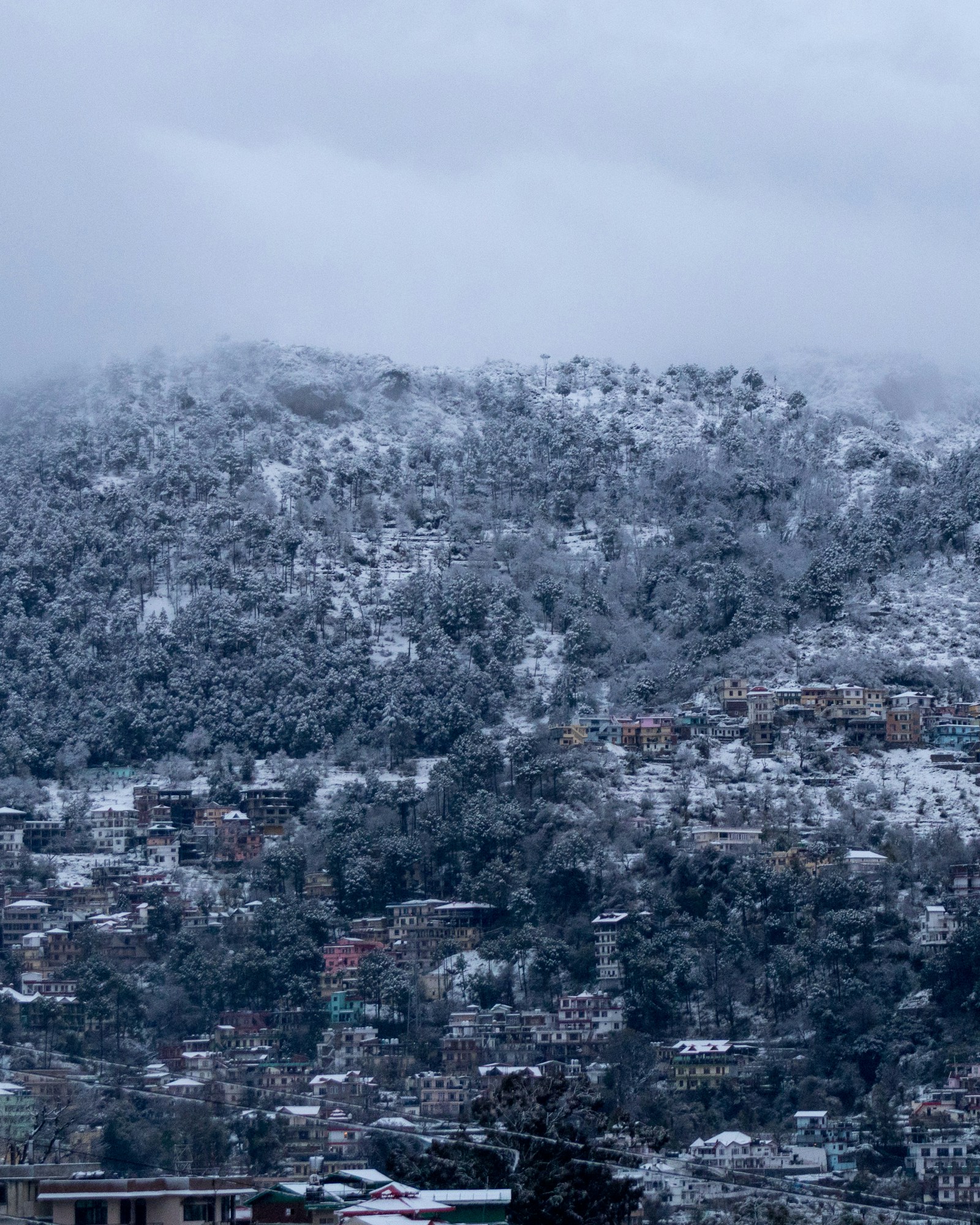
Solan District
Solan's history is that of a modern district assembled in 1972 from territories with distinct hill-state, provincial, cantonment, institutional, and railway histories.
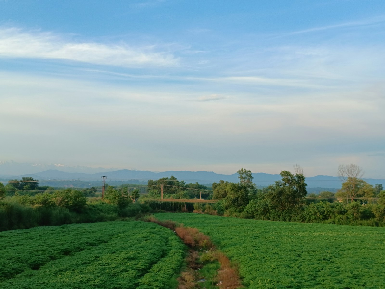
Una District
Una's modern boundary joins the distinct histories of Jaswan, the Bedi estate centred on Una town, Chauki-Kuthlehar, colonial Hoshiarpur, and post-1966 reorganisation.