Una District
Una District
Una is best understood as a modern district assembled from territories whose earlier histories did not share one boundary. Jaswan, the Bedi jagir or estate centred on Una town, and Chauki-Kuthlehar were distinct political units. Their names recur in later accounts of the district, but they should not be collapsed into a single ancient Una.
The distinctions depend on the kind of record being read. Dynastic genealogies preserve claims of descent and legitimacy. The nineteenth-century Hoshiarpur and Kangra Gazetteers document colonial administration while also repeating inherited traditions. Current district pages provide official retrospective summaries, the Punjab Reorganisation Act supplies primary legal evidence for the 1966 transfer, and the Census handbook explains the later district’s composition. A places-of-interest page can identify surviving associations, but it cannot establish an early chronology or an old boundary.
Key Takeaways
- Modern Una is composite. Jaswan, the Bedi estate, and Chauki-Kuthlehar had separate histories before their territories met within one district.
- British Hoshiarpur is only part of the story. Its Una tahsil covered the present district area except the later Bangana block, not the whole modern outline.
- The 1966 transfer was specific. Parliament moved named circles, portions, and scheduled territory—not every part of the historic Una tahsil—to Himachal Pradesh.
- District formation came later. Una district was created on 1 September 1972 from the then-Una tahsil, Amb sub-tahsil, and Barsar-area villages.
- Official records can disagree. The Hoshiarpur Gazetteer gives 1877 for restoration of a 21-village Jaswan jagir; the Census handbook gives 1879.
Three Historical Units, Not One Ancient District
Jaswan belonged to the history of Jaswan Dun and a ruling house associated with the wider Katoch genealogy. The Bedi holdings grew around Una town through land and revenue grants and remained institutionally distinct from the Jaswan house. Farther east, Chauki-Kuthlehar belonged to a different lower-hill political and administrative setting. The Kangra Gazetteer places it with the Hamirpur grouping rather than within British Una tahsil.
This distinction changes the shape of the narrative. A fact about Jaswan does not automatically describe Una town, and neither establishes the history of Kuthlehar. The modern boundary emerged only after transfers and reorganisation in the twentieth century. Earlier names identify courts, estates, valleys, settlements, or administrative units whose reach varied over time.
The evidence is strongest when records identify these units separately. The Hoshiarpur Gazetteer lists Mian Raghunath Singh Jaswal and the Bedi of Una as different leading figures. The Kangra Gazetteer identifies Kuthlehar as a separate taluka and family estate. Those colonial classifications have their own biases, but they prevent three political histories from being turned into one continuous dynasty.
Jaswan in Tradition and Administrative Records
Official history associates Jaswan with the Katoch group and places its landscape in Jaswan Dun. Genealogical narratives carry more precise origin stories, succession lists, and foundation claims, but those are dynastic traditions rather than independently dated accounts of the modern district. Their historical value lies in how the ruling house represented ancestry and authority, not in proving an exact ancient chronology.
The district administration recounts Jaswan’s annexation by Ranjit Singh and the participation of its ruler in the revolt of 1848. Later British arrangements reduced the old sovereignty to a much smaller jagir. Here the documentary summaries conflict on a seemingly simple date: the Hoshiarpur Gazetteer places restoration of a 21-village jagir in 1877, while the Census handbook gives 1879. The underlying order is not present in these records, so selecting one date would hide rather than solve the disagreement.
That conflict also shows why an official label does not make every statement equivalent. The Gazetteer is closer to the colonial administration but was written through colonial categories and contains inherited genealogy. The Census account is later and concise, with identifiable textual errors. Together they support the broad reduction and limited restoration of the Jaswan estate while leaving the year contested.
Una Town and the Bedi Jagir
The Bedi history centres on Una town and on grants of land and revenue. The Hoshiarpur Gazetteer records the Bedi of Una separately from the Jaswan representative, describes grants associated with Una, and identifies the town as an important Bedi residence. This is contemporary colonial evidence that the Bedi estate was not simply another name for Jaswan.
The district history adds a later official narrative about successive Bedi holdings and Bikrama Singh’s conflict with British authority. The Gazetteer records confiscation following the events of 1848. These accounts support the existence, political importance, and later curtailment of a Bedi estate; they do not justify calling it an ancient principality or attaching an exact foundation date to it.
Genealogical and migration stories surrounding the Bedis belong to another evidence category. They can be attributed as traditions of family origin, but they do not independently establish the date or extent of every grant. The durable distinction is administrative: the Bedi jagir was centred on Una, appeared separately in the colonial record, and followed a different institutional history from Jaswan.
Chauki-Kuthlehar in the Eastern Hills
Chauki-Kuthlehar provides the clearest warning against projecting British Una tahsil across the modern district. The Kangra Gazetteer treats Kuthlehar as a small, separate principality in the Kangra hills and places it within the Hamirpur administrative grouping. Its history therefore approached the present district through a different jurisdiction from the Hoshiarpur-administered Una area.
The Gazetteer recounts periods of dispossession under neighbouring powers, recovery of Kotwalbah, a Sikh siege in 1825, and the eventual conversion of the ruler’s position into a jagir. These are colonial summaries of political change, not a complete local history. The remote origin and “forty generations” genealogy that accompany them are inherited dynastic claims and cannot supply an exact chronology.
Current district history also treats Kuthlehar as an eastern historical unit, often under the combined name Chauki-Kuthlehar. Agreement on its separateness is more secure than the precise dates assigned to its ruling line. Its inclusion in modern Una arose through later administrative composition, not because Jaswan, the Bedi estate, and Kuthlehar had always formed one territory.
British Hoshiarpur and the Boundary Caveat
After the First Anglo-Sikh War, the British annexed the Jullundur Doab and began administering Hoshiarpur district in 1846. The Hoshiarpur Gazetteer lists Una among the district’s original tahsils and describes later changes that enlarged it with hill territory east of the Siwalik watershed. By 1881, Una town served as tahsil and police-subdivision headquarters.
That colonial Una should not be confused with today’s district. The Census handbook states the boundary carefully: during British rule, the area of the present district excluding the later Bangana block belonged to Hoshiarpur, where Una was both a tahsil and subdivision. The eastern Kuthlehar/Bangana side instead connects to Kangra and the Barsar sub-tahsil.
The caveat matters beyond terminology. If the whole modern district is called a former Hoshiarpur tahsil, Kuthlehar’s separate administrative path disappears. If the former Una tahsil is treated as identical to the territory transferred in 1966, the part that remained in Punjab disappears. Similar names linked several stages, but none of those stages had exactly the same boundary.
The Specified Transfer of 1966
The Punjab Reorganisation Act is the controlling record for the next change. It made 1 November 1966 the appointed day and transferred specified Una-tahsil territory from Punjab to the Union Territory of Himachal Pradesh. Section 5 names the Lohara, Amb, and Una kanungo circles, specified portions of the Santokhgarh kanungo circle, and other territory listed in the Third Schedule.
This wording rules out the shorthand that all of the old Una tahsil moved. The schedule works at the level of patwar circles and villages, showing a territorial selection rather than a wholesale transfer by tahsil name. Section 5 then placed the transferred territories in Kangra district and formed an Una tahsil there.
Section 6 records the other side of the boundary. Territory of the former Una tahsil not transferred to Himachal Pradesh became Anandpur Sahib tahsil in the new Rupar district. The 1966 event therefore divided an earlier administrative unit. It did not create Una district, and it cannot establish the precolonial histories of Jaswan, the Bedis, or Kuthlehar.
District Formation in 1972 and Bangana in 1975
Official retrospective accounts date Una district’s creation to 1 September 1972, after the transferred Una area had spent nearly six years in Kangra. The Census handbook describes the new district as the entire then-Una tahsil, Amb sub-tahsil, and villages of the former Barsar sub-tahsil. That combination joined the Hoshiarpur-derived territory with Barsar-area villages that carried a different administrative history.
The account becomes still clearer in 1975, when the Census handbook says Bangana tahsil was formed from 311 villages of the former Barsar sub-tahsil. Bangana’s composition explains why the present district cannot be described wholesale as the old Hoshiarpur Una tahsil. It also makes district creation more than a change of rank: the new unit combined territorial components with different earlier affiliations.
No underlying 1972 Gazette notification is available in this record. The date and composition therefore rest on current district history and the Census handbook—official retrospective evidence, not primary statutory law. That limitation does not erase the formation account, but it keeps the 1972 claim in a different evidentiary category from the 1966 Act.
Surviving Places and the Limits of the Record
The present landscape preserves associations with parts of this history. The district’s places-of-interest page identifies a Bedi residence or fort and the Sahib Singh mausoleum in Una town. It also remembers Amb as a seat of the Jaswan rulers. These references connect named places with the separate Bedi and Jaswan histories without turning a surviving structure into proof of a foundation date or territorial boundary.
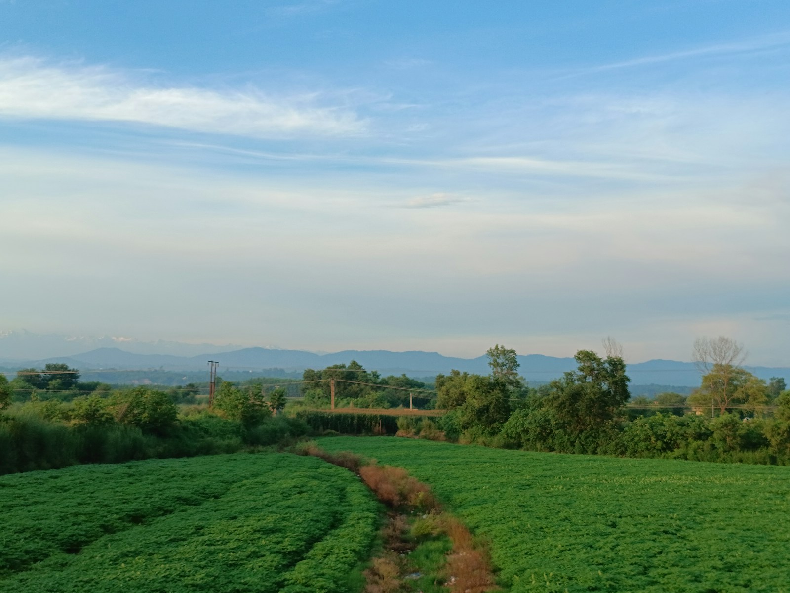
That page is designed for visitors and includes belief narratives that cannot bear the weight of political chronology. The hero photograph has a similar, narrower role: it shows a present-day agricultural landscape, not the extent of Jaswan, the Bedi estate, Kuthlehar, British Una tahsil, or the district created in 1972.
Una’s history is therefore clearest when each source does the work it can support. Genealogy preserves dynastic tradition; Gazetteers record colonial classifications and administration; official summaries explain later public chronology; the Act defines the 1966 transfer; Census evidence clarifies district composition; and surviving places offer limited geographic continuity. Together they describe a composite modern district without inventing a single ancient territory behind it.
Frequently Asked Questions
Was the modern Una district one ancient political territory?
No. Its present boundary joins areas associated with at least three distinct historical units: Jaswan, the Bedi jagir or estate centred on Una town, and Chauki-Kuthlehar in the eastern hills. Their jurisdictions and documentary histories should not be merged into one ancient district.
Was the whole present Una district part of Hoshiarpur's Una tahsil?
No. The Census handbook says that the area of the present district excluding the later Bangana block belonged to British Hoshiarpur. Chauki-Kuthlehar and the Barsar villages later used to form Bangana had a Kangra/Hamirpur administrative history.
Did all of the old Una tahsil transfer to Himachal Pradesh in 1966?
No. The Punjab Reorganisation Act transferred named Lohara, Amb, and Una kanungo circles, specified Santokhgarh portions, and other scheduled territory on 1 November 1966. It placed those territories in Kangra and formed an Una tahsil there; the non-transferred portion became Anandpur Sahib tahsil in Rupar.
When was Una district created and what territory formed it?
Official retrospective and Census accounts date its creation to 1 September 1972 from the then-Una tahsil, Amb sub-tahsil, and Barsar-area villages. The Census handbook adds that Bangana tahsil was formed in 1975 from 311 Barsar villages. The underlying 1972 notification has not been recovered, so these details are not presented as primary statutory evidence.
When was the 21-village Jaswan jagir restored?
Two official accounts conflict: the Hoshiarpur Gazetteer gives 1877, while the Census handbook gives 1879. Without the underlying order, neither date resolves the discrepancy, so both versions remain visible.