Bilaspur District
Bilaspur District
Present-day Bilaspur occupies a landscape in which continuity of name coexists with a profound break in place. The modern town stands above Gobind Sagar; the earlier princely capital stood beside the Sutlej and was lost as the Bhakra reservoir filled. The district inherited the name and much of the political memory of Kahlur or Bilaspur State, but it was made through post-independence administration and large-scale river engineering as well as princely history.
These layers should not be collapsed. Kahlur tradition supplies ancestry and foundation narratives. Administrative and travel records make the princely river town more clearly visible. Political integration after 1948 created a new relationship with Himachal Pradesh. Bhakra and Gobind Sagar transformed settlement geography. Available records document that rupture, but they do not justify claims about every displaced household’s experience, compensation, or rehabilitation.
Key Takeaways
- Kahlur’s earliest chronology is dynastic tradition, not settled material chronology. Ruling-house ancestry, Bir Chand, and sacred foundation narratives matter, but exact early dates require stronger evidence.
- Bilaspur was an observable Sutlej-side princely capital by the nineteenth century. Attributed travel descriptions record both its cultivated setting and political-economic strain.
- 1948 and 1 July 1954 mark political and administrative changes, not the date of inundation. Bilaspur’s separate post-independence status ended when it became a Himachal district.
- Bhakra planning explicitly weighed the old town’s survival. A 1945–46 design constraint limited reservoir height to avoid submergence; planners reconsidered it in 1948 and selected a higher level for expanded irrigation and power objectives.
- Gobind Sagar created a spatial rupture. Old Bilaspur disappeared beneath the reservoir and a new town was built upslope, while names, institutions, and memories continued in altered settings.
- Source limits matter. Institutional project history documents design decisions but not residents’ full social history, and district descriptions do not prove dates or protection status for every fort and shrine.
Kahlur and the Limits of Dynastic Memory
The Bilaspur ruling house traced its ancestry to the Chandel or Chandravanshi line associated with Chanderi. District tradition credits Bir Chand and successors with establishing Kahlur and links Kot Kahlur with an early political centre. Such accounts are important statements about legitimacy and regional identity, but the official pages themselves use phrases such as “claims,” “it is said,” and “generally said.” Those signals should remain visible.
A traditional genealogy can order rulers and migrations across many generations. It does not by itself prove a foundation in a particular century, direct descent without interruption, or the date of a surviving ruin. The available official accounts therefore do not establish the often-repeated claim that Kahlur was founded in the seventh century as settled chronology.
Sacred geography is part of these traditions. A local etymology associates Bilaspur—also rendered Vyas or Byaspur in official retellings—with the sage Vyasa and a cave beside the Sutlej. Narratives of deities, dreams, contests, and tutelary shrines explain how later communities understood political settlement. They should not be discarded, but neither should they be converted into material evidence.
District descriptions identify Kot Kahlur as a ruined palace-fort associated with an older seat. Sunhani is remembered as another headquarters. These places make shifts in political focus visible in the landscape even when precise construction and occupation dates remain uncertain.
From Earlier Seats to the Sutlej Capital
Official accounts connect Deep Chand with founding Bilaspur beside the Sutlej in the mid-seventeenth century. Their dates conflict: versions cluster around 1650, about 1653, and 1663. Rather than force false precision, it is safer to say that the district administration places the river town’s establishment in the mid-seventeenth century.
Moving the political centre changed the relationship between court and river. The Sutlej corridor connected cultivation, routes, settlements, and authority. The town that developed there later gave its name to the state in common official use, although Kahlur remained historically significant.
The Census district handbook, drawing on older state histories, attributes an 1820 description to William Moorcroft. It presents Bilaspur on the Sutlej’s left bank and records damage and strain following Gurkha plundering, along with criticism of princely administration. Accounts attributed to G. T. Vigne from the 1830s emphasized the cultivated river landscape and the town’s setting.
These are second-hand reproductions in a modern official compilation, not direct consultation of the travellers’ original editions. The handbook’s reproduced accounts depict conflict, administrative criticism, and economic strain alongside descriptions of the cultivated river landscape. Those observations reflect both the travellers’ positions and the later official compilation; they cannot stand as a neutral verdict on every resident’s experience.
A Princely State in a Changing Political Order
By the nineteenth century, Bilaspur was clearly situated within wider hill and imperial politics. Its rulers negotiated with neighbouring powers and, later, British paramountcy. Without verified treaty pages adequate for a ruler-by-ruler account, precision about tribute, jurisdiction, or reform would be unwarranted.
The Census handbook records that the former state was divided into twelve parganas before merger. Such units were not timeless building blocks of today’s district. After incorporation, they ceased to have the same administrative significance as territory was organized into Bilaspur Sadar and Ghumarwin and subsequently altered again.
Surviving sites provide uneven evidence of this political geography. The district’s “Places of Historical Interest” page lists remains at Kot Kahlur and several forts, as well as Sunhani and Auhar. Its descriptions often use conjectural wording and traditional reign dates. These sites can be called historic or locally associated with former centres; they should not be assigned firm dates or described as centrally protected without a specific material record or protection notification.
From Separate State to Himachal District
After princely rule ended in 1948, Bilaspur did not immediately become an ordinary Himachal district. Official accounts describe a period of separate central administration under a chief commissioner. Constitutional and administrative terminology varies across summaries, so distinctions among accession, takeover, and state formation should not exceed what the available documents securely establish.
The firm administrative date is 1 July 1954, when Bilaspur was integrated into Himachal Pradesh as a district. The Census handbook corroborates that transition and the replacement of older pargana arrangements by district and tehsil structures.
This date has sometimes been repeated on official pages as though it were also the date old Bilaspur went under water. That conflation does not fit the Bhakra construction chronology. Political integration and physical inundation were separate processes. Keeping them apart is essential to understanding how state reorganization and river engineering jointly remade Bilaspur.
Bhakra Planning and the Fate of Old Bilaspur
The Bhakra Beas Management Board’s own developmental history supplies the clearest evidence about the planning decision. In 1945–46, a proposed maximum reservoir elevation was constrained under a draft agreement between the Punjab Government and the Raja of Bilaspur. BBMB states that this limit was intended to prevent the submergence of Bilaspur town.
In 1948, planners reviewed that constraint after Partition altered demands for irrigation and power in Indian Punjab. They chose a higher reservoir level that the institution presents as the optimum safe height, enabling greater project capacity. This account establishes that preservation of the old town was actively considered and then subordinated to expanded project objectives.
The language of an operating institution naturally emphasizes engineering, irrigation, electricity, and national development. That perspective is important historical evidence, but it is not the whole social history. The same decision that enlarged the project’s planned benefits made the old capital’s loss possible. A responsible account must hold those facts together without simply repeating promotional language or dismissing the project’s wider consequences.
BBMB describes construction as extending from 1951 to 1963, with accelerated activity after 1952 and dedication by Jawaharlal Nehru on 22 October 1963. Its engineering page identifies Bhakra as a concrete straight-gravity dam and Gobind Sagar as the reservoir. Conflicting storage figures and time-sensitive superlatives add little to this history and are omitted.
Available evidence does not securely establish a single final inundation date. Reservoir filling is a process, and the date of district integration cannot substitute for hydrological and settlement records. Nor is there adequate household-level evidence here about relocation choices, compensation, land allotment, livelihood change, or whether rehabilitation promises were fulfilled. Those questions require resident testimony and administrative files.
Gobind Sagar and a New Urban Geography
What can be stated firmly is that the historic river town was submerged and a new Bilaspur was built upslope. The move did not simply transfer a settlement intact. A town is made by streets, neighbourhoods, institutions, markets, religious places, property relations, memories, and access to land and water. Changing the site altered those relationships even when names and public offices continued.
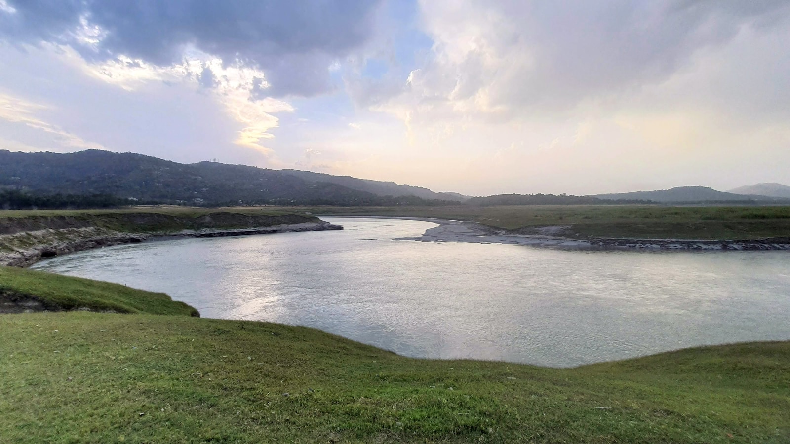
Gobind Sagar became the dominant feature of the district’s modern landscape. It is evidence of an engineered river system, not a transparent view of the pre-reservoir shore. Contemporary photographs of broad water and hills should therefore not be captioned as a specific submerged bazaar, palace, or neighbourhood unless location evidence establishes that connection.
The district pages mention temples, buildings, and institutions associated with the old and new towns, but available evidence does not support a comprehensive inventory of what was moved, rebuilt, lost, or reinterpreted. Nor does it show that resettlement was seamless. The most defensible framing is continuity through spatial rupture: Bilaspur persisted as a name and administrative centre while the physical ground of the old capital disappeared.
Historical Landscapes Beyond the Reservoir
Bilaspur’s history is not limited to the submerged town. Kot Kahlur and Sunhani retain associations with earlier political centres. Fort remains at Bachhretu, Tiun, Bahadurpur, Basseh, Fatehpur, Sariyun, Swarghat, and other locations mark a dispersed landscape of authority and defence in district retellings. Auhar’s Thakurdwara and mural paintings add another kind of material survival.
These places should be approached with precise language. “Ruined,” “historic,” “traditionally attributed,” and “centrally protected” describe different things. Central protection requires confirmation in Archaeological Survey records, and the Bilaspur sites named here are therefore not described as centrally protected. Exact reign dates supplied without archaeological citations remain traditions or official summaries, not settled building chronologies.
The reservoir shoreline itself is now historical evidence of twentieth-century transformation. Reading it responsibly means attending both to national infrastructure and to what the water displaced, while admitting where evidence about individual lives is missing.
Continuity After Rupture
Modern Bilaspur is a successor to Kahlur and the princely river capital, but not an unchanged continuation. Dynastic memory shaped identity; nineteenth-century descriptions make the town and its problems visible; post-1948 integration changed government; and Bhakra replaced a river landscape with a reservoir and a new urban site.
The strongest documented history does not romanticize the princes or reproduce a triumph-only dam narrative. It shows choices, institutions, and changed space. It also marks the archive’s silence: without resident-centred records, no responsible account can say how compensation worked for every family or what rebuilding meant in each neighbourhood.
Bilaspur’s continuity lies partly in names, memories, institutions, and claims to the past. Its rupture lies in the lost physical town and transformed Sutlej. Both belong at the centre of the district’s modern history.
Frequently Asked Questions
Are Kahlur State and Bilaspur District the same place?
They are related but not identical. Kahlur or Bilaspur was a princely state; Bilaspur remained separately administered after 1948 and became a district of Himachal Pradesh on 1 July 1954. Later district boundaries and subdivisions are modern administrative arrangements.
When was Bilaspur town founded?
Official accounts connect the river capital with Deep Chand in the mid-seventeenth century, but they differ among dates around 1650, 1653, and 1663. This article therefore avoids presenting one exact year as conclusively established.
When was old Bilaspur submerged by Gobind Sagar?
Available evidence establishes that the old river town was lost as the Bhakra reservoir filled, but it does not securely establish one final inundation date. The political merger on 1 July 1954 must not be confused with the later physical process of submergence.
What do the sources reveal about Bhakra-era displacement?
They document that avoiding submergence was an explicit design constraint before planners chose a higher reservoir level and that old Bilaspur was lost and rebuilt upslope. They do not establish household-level experience, compensation, or rehabilitation outcomes, so those claims are not inferred.
What remains of Bilaspur's earlier historical landscape?
District material identifies Kot Kahlur, Sunhani, Auhar, and several fort remains as historical places. Their survival helps trace changing political centres, but available evidence does not confirm that these sites are centrally protected or prove every traditional construction date.